Update 25 August: sorry! This post came out half-done due to issues I was having with WordPress, I have since updated it to cover everything that I originally intended.
Dear Friends and Family,
Today’s blog post has even less narrative coverage than yesterday because it covers not even one full day, but just one hike: The Highline Trail. There’s not much I can say about it that its pictures won’t say for themselves, so I’ll let them do the talking:
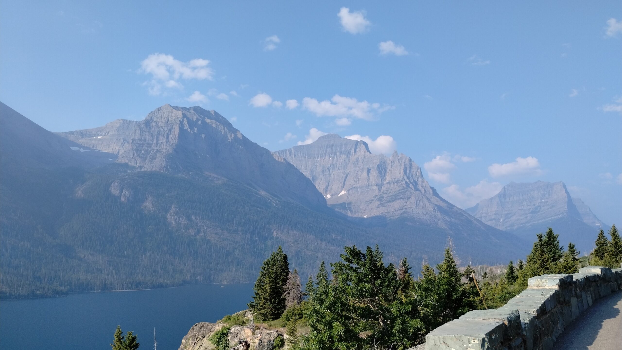
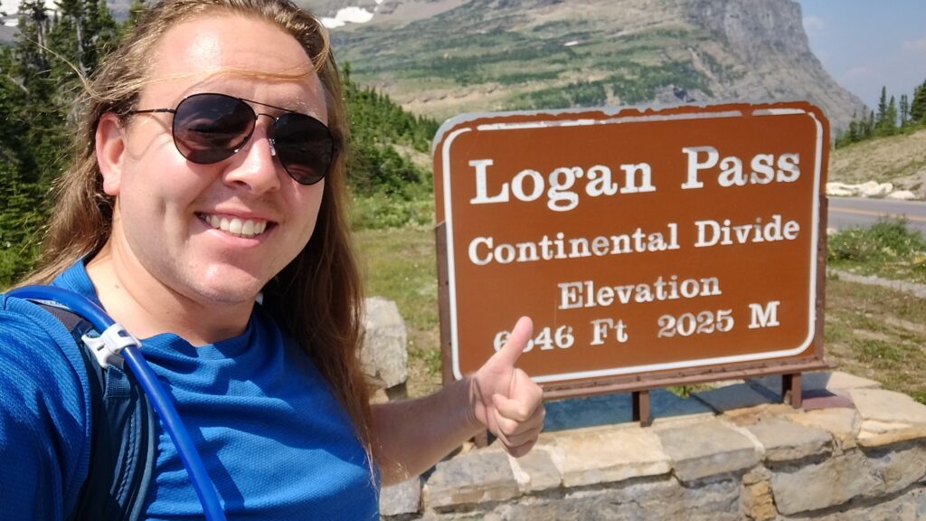
The key, defining characteristic of Glacier National Park (besides the Glaciers) is the Continental Divide, which bisects the park north to south and parts the rain and snowmelt of the park into the Atlantic Pacific Oceans. Actually, Glacier National Park is trisected by drainage divides: the northeast corner of the park (where all of my pictures from Many Glacier were taken) drains to the Arctic Ocean via tributaries of the Saskatchewan River. The Highline Trail straddles the Continental Divide where the Arctic and Pacific are being divided:
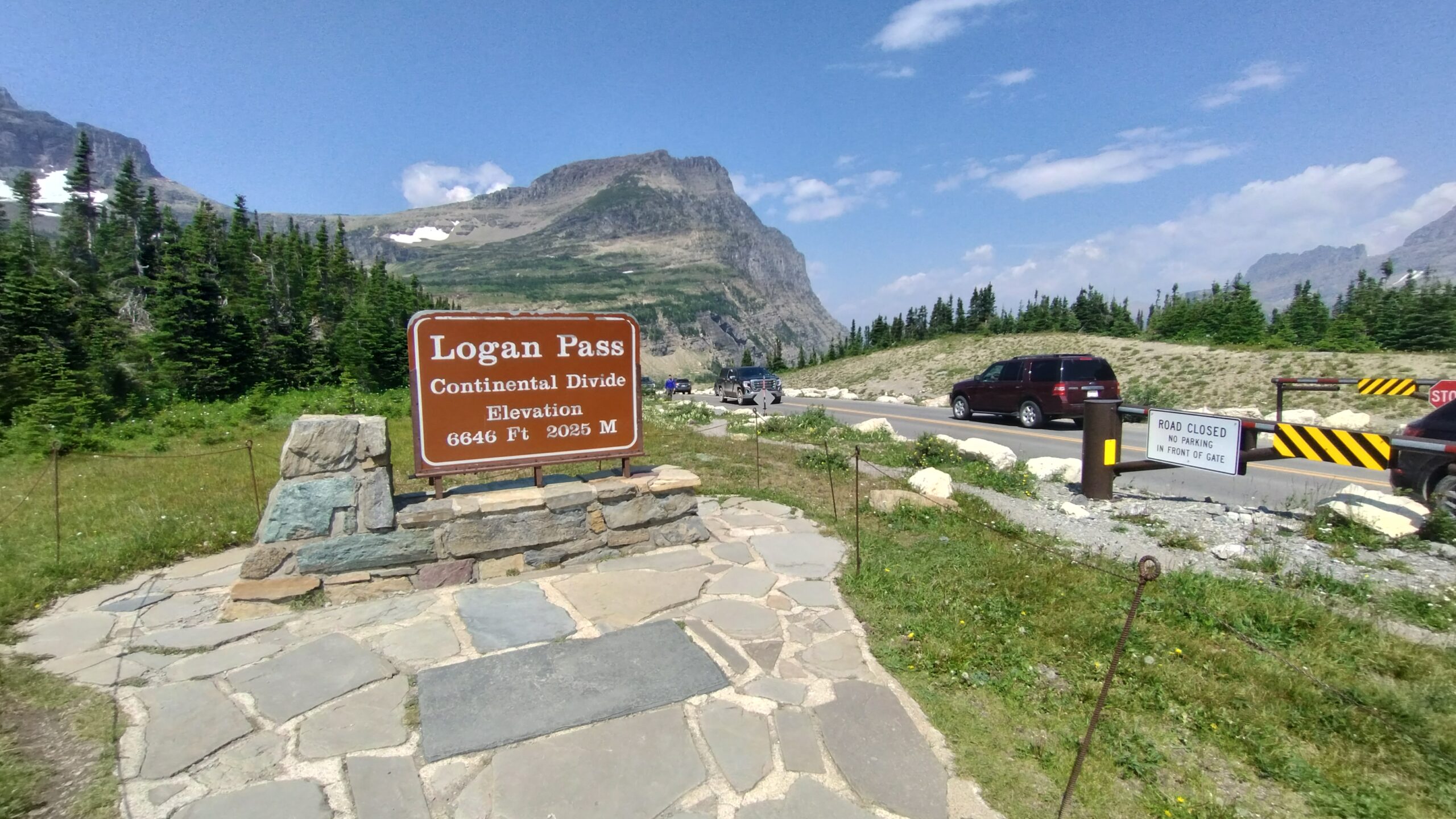
If you peed right here, directly on the divide, a park ranger would probably come over and yell at you.
So the trail starts out from where the main road crosses the divide, and runs north. Immediately, you’re greeted with Zion-inspired cable ways and via ferrata:
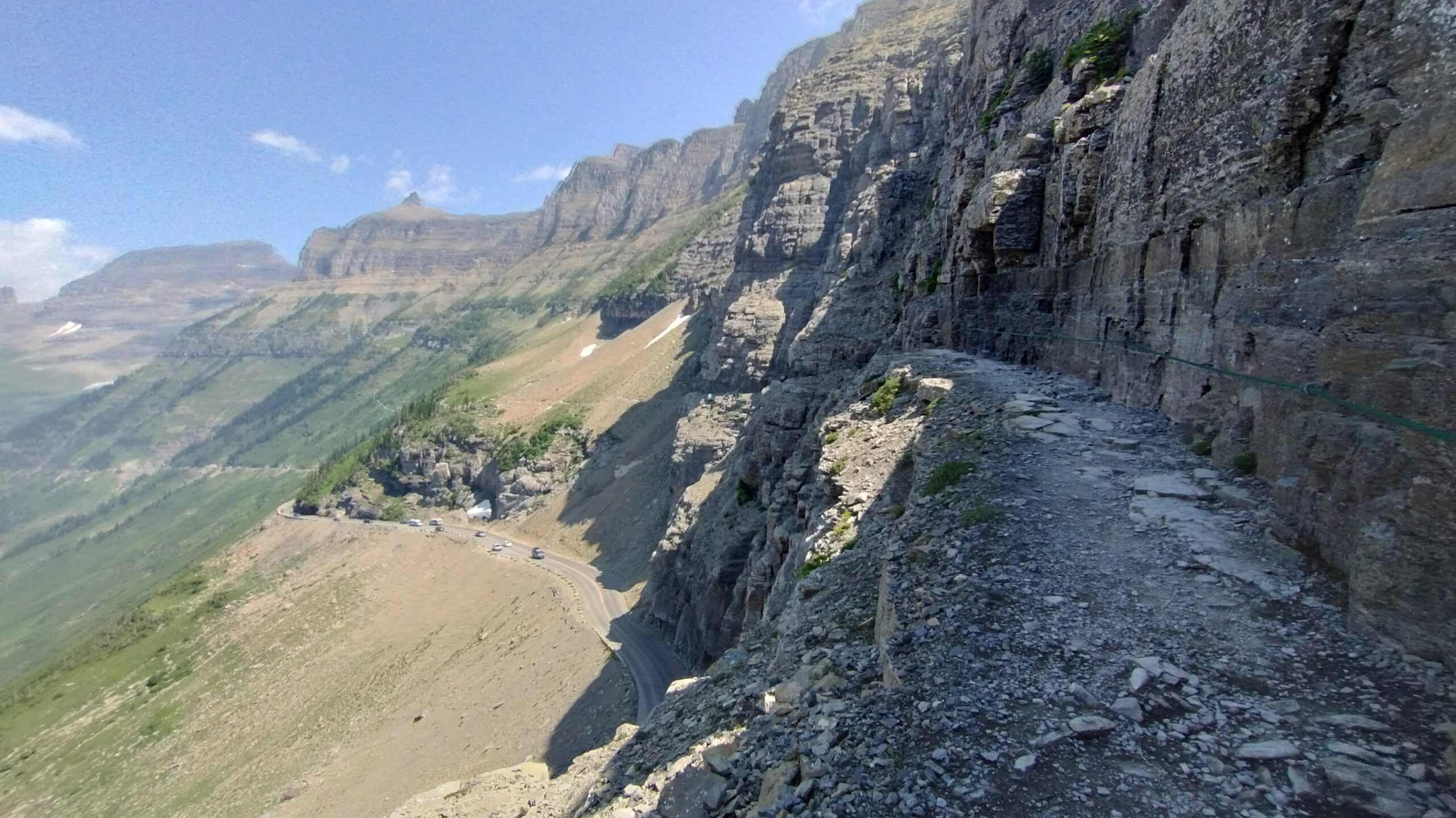
“Via Ferrata” is Italian for “Iron Constitution”, which is what you need to hike this type of trail (shhhh @Paolo just roll with it) (@Kim ask your new boyfriend (congrats btw!))
But the trail widens out again pretty soon:
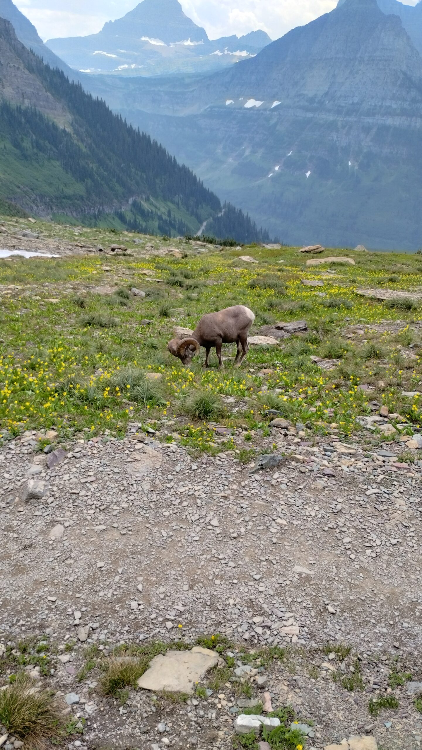
Wide enough, in fact, for some more traditional hikes to join the trail:
@Chels it’s your spirit animal
I asked how early he had to get his timed entry pass for Going to the Sun Road but he said he just snuck in >:(
@Mom Mr. Chiperooni had his pass in order 🙂
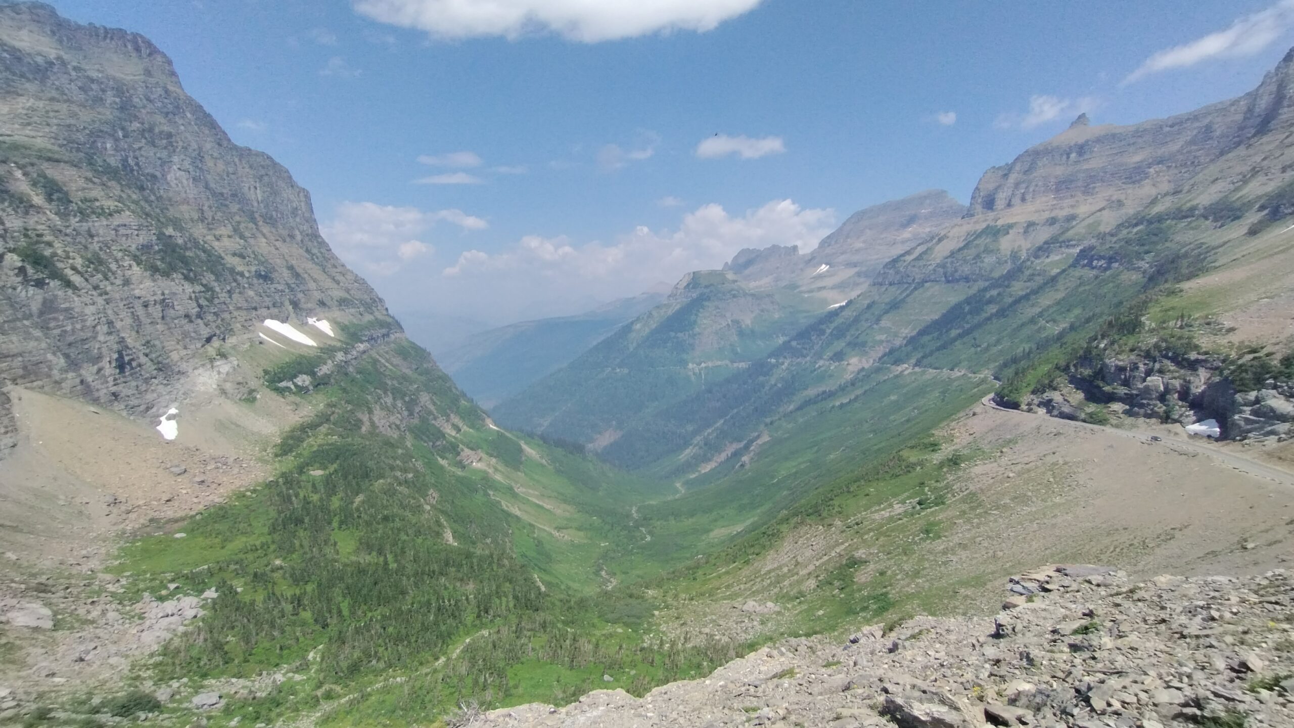
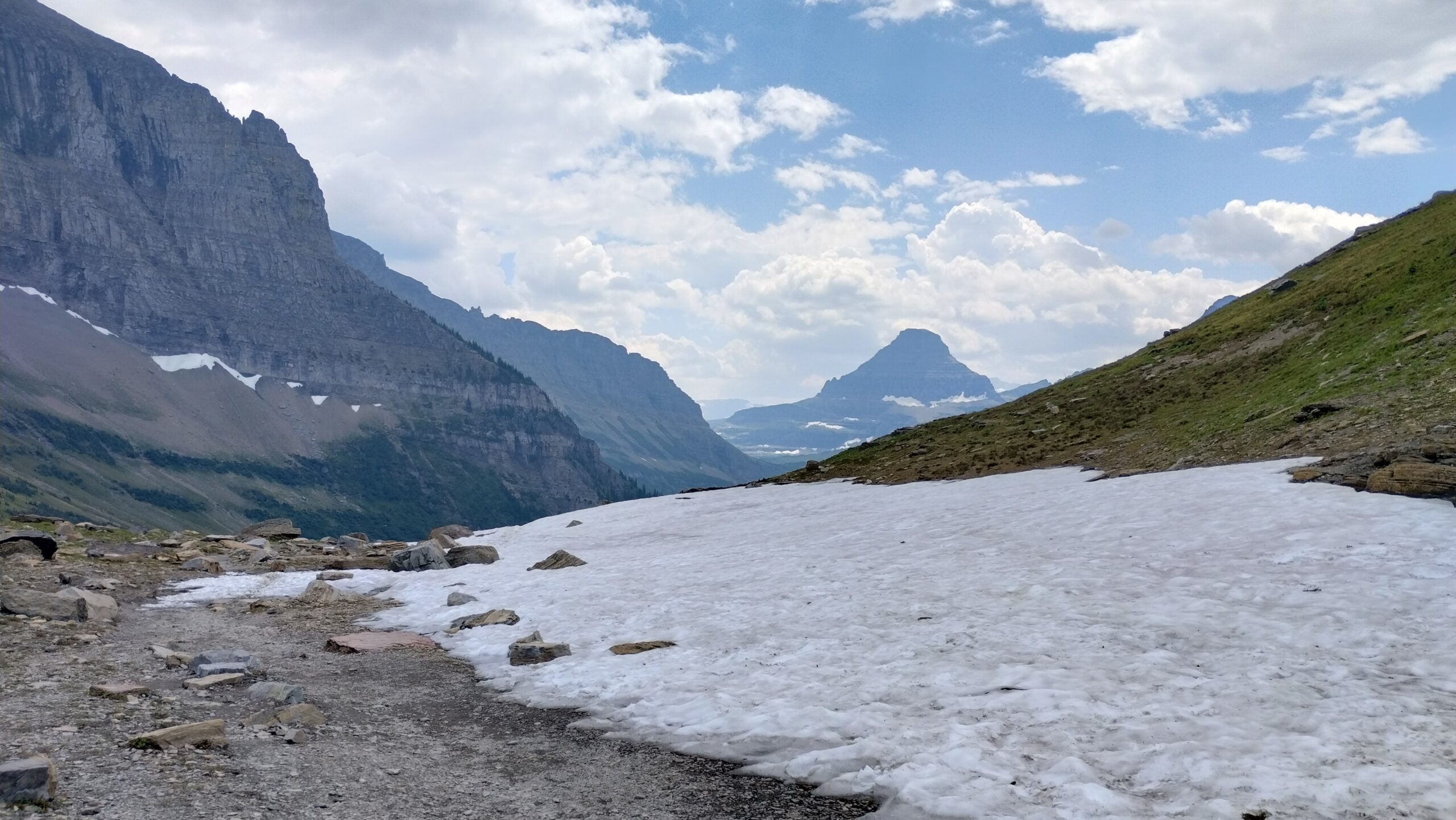
And the trail continued:
I find that my mind meanders much while I am on the trail alone. I sort of zone out and zen in while I am rambling along, and the miles and minutes all sort of meld together into one big, collective experience. What a rarified joy it is to live outside your own head for a couple of endless hours.
The trail reaches its only major uphill a few miles in (bump-outs notwithstanding). The hike is one-way (there is a return shuttle to Logan Pass at the end), so every hardship need only be enjoyed once.
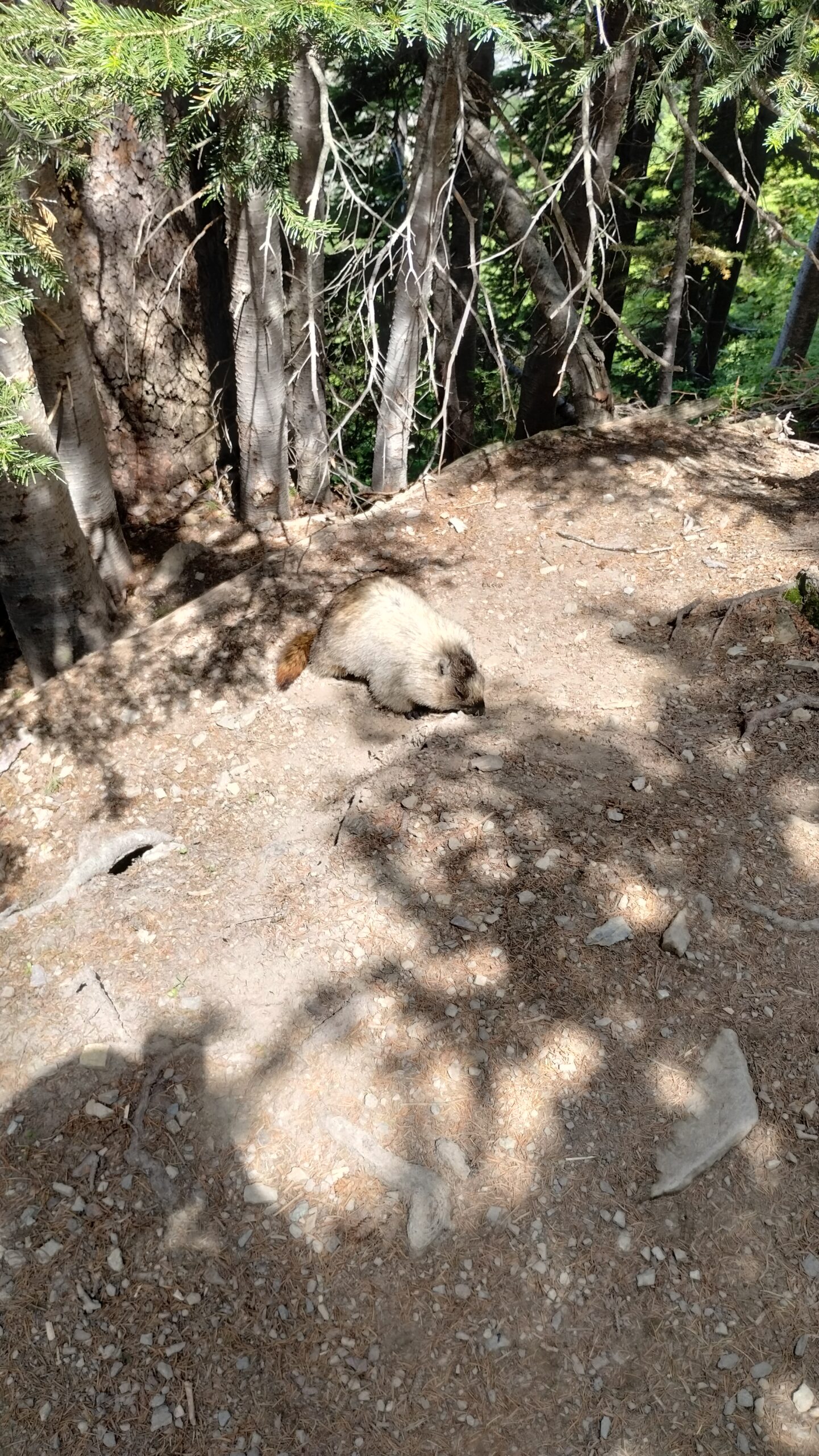
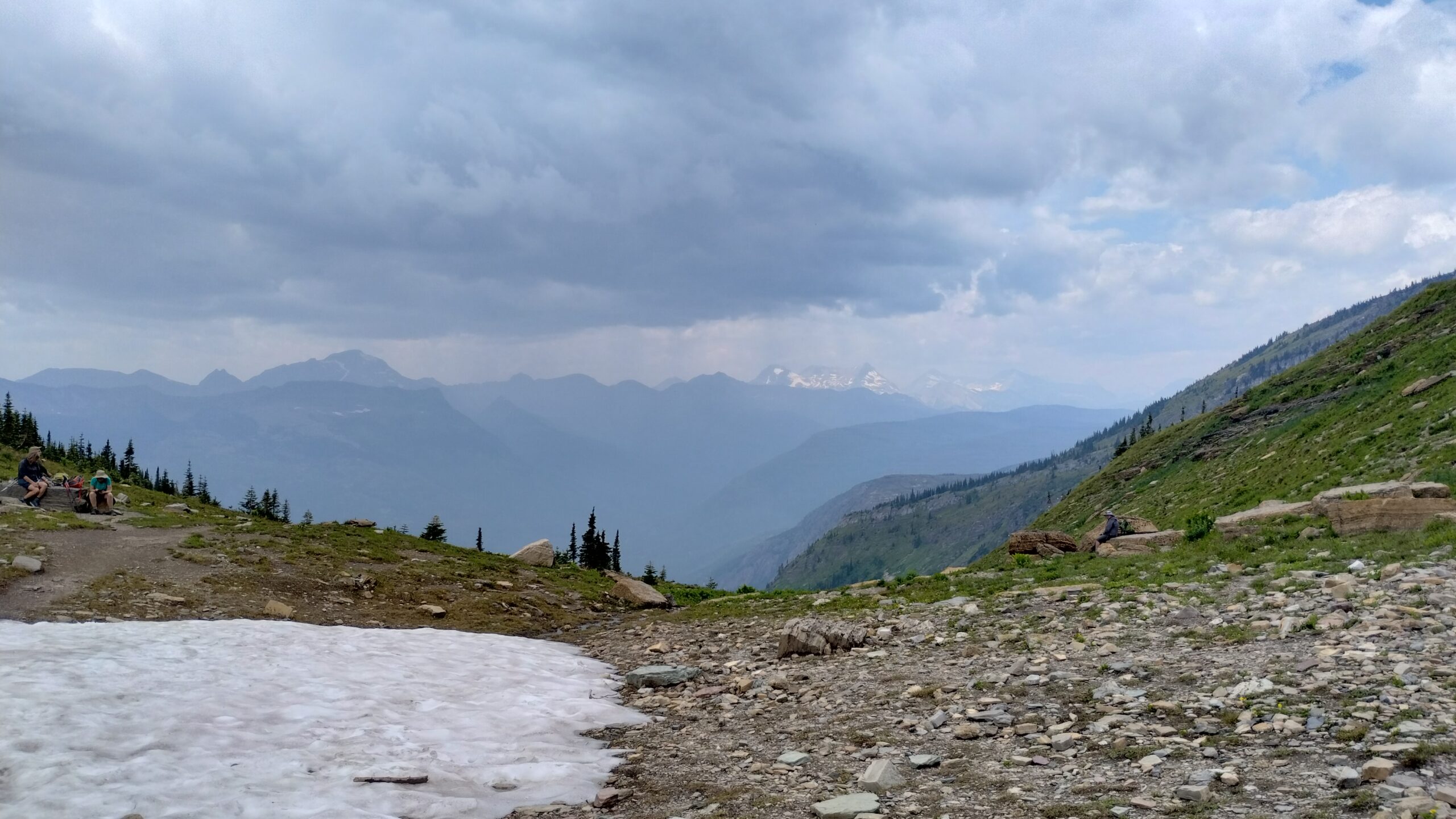
Some snow can still be found on the trail. I took a break for a snack at the head of this snowpack when another rewilded hiker came down the trail:
He moseyed on through at a leisurely pace. Man, how I envy these ultralighters!
Eventually there was some rain on the horizon:
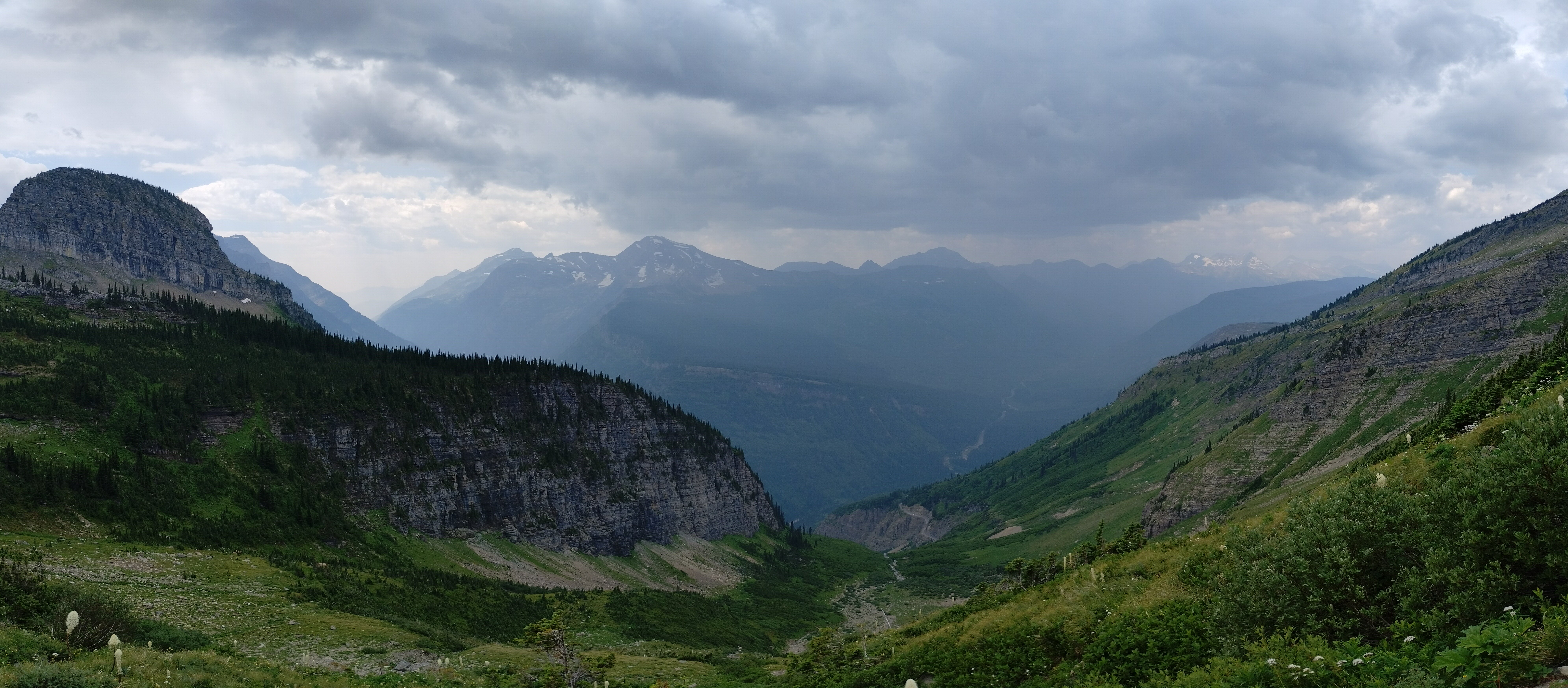
It was a gullywasher (@Dad thanks for reintroducing that one to my vocabulary a la your Burt Lake experiences), so I couldn’t take that many photos during the downpour.
Flowers, rain or shine, always find their way onto my camera roll.
Eventually you reach an optional portion of the hike, where you climb up and extremely steep bump-out (@Tyler Brinks, much, much steeper than our XC bump-out) to a particularly spectacular overlook:
And this, my dear friends and family, is where I enjoyed one of the most awe-inducing sights in the entire trip. Like I wrote above: words fail, and I will let the photos do the talking:
Grinnel Lake, and all Her glaciers, from above.
The Salamander Glacier and its outflow.
Grinnell Glacier, which I was standing on the edge of just two days prior.
Ice floes and the Grinnel Lake outflow.
The view to the north and east, to the Arctic.
To the north and east, to the Pacific.
Bringing it all together.
I didn’t want to leave that high perch. I felt so raw, so powerful, so windswept and exposed on the precipice of oceans. It was the first time on this trip that the Earth has made me feel small. Not while staring into the Perseids, nor the Plains, nor the Pacific, did I feel I’d shrunk before those vastnesses. But here on the ridgeline, I truly felt like a tiny, tiny creature, engulfed by the great heaving ecosphere surrounding me. Every sight was an experience, and every footfall was a mile, and every gust was the breath of a giant standing far above me!
God, what an unrelenting and breathtaking existence.
…
But eventually it was time to move on. I returned down the bump-out trail and continued north along the Highline:
One thing I cannot explain, and was amazed by on the latter part of the hike, was this mountain:
It’s beautiful, of course, but why does it look so much like that? See how it glints in the sunshine? It looks like it’s made of obsidian. I wish I knew what caused it to look so pretty 🙂
Eventually I came upon a mountain chalet, where apparently you can stay overnight if you have the world’s fastest internet connection and nothing better to do at 12:00:00.01 AM Mountain Time on January 1st of any given year (I’m saying it is immeasurably difficult to book a bunk there):
But still, it must be fun to stay there if you can make it.
The trail finishes up with a ramble through the woods:
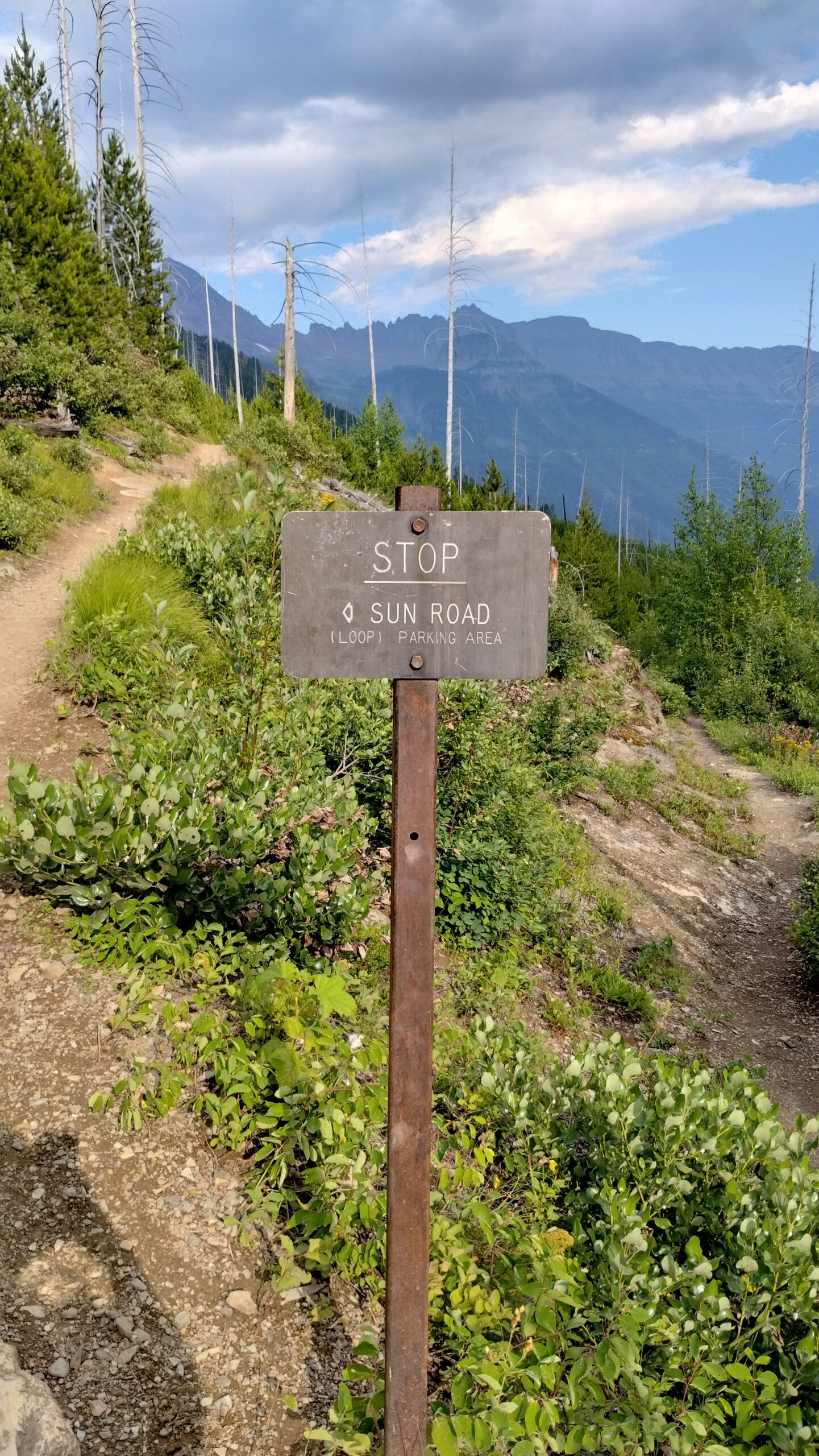
STOP. Just stop. You were doing something? Well you should be doing nothing. Don’t even wait for further instructions, waiting isn’t stopping. Just stahp <3.
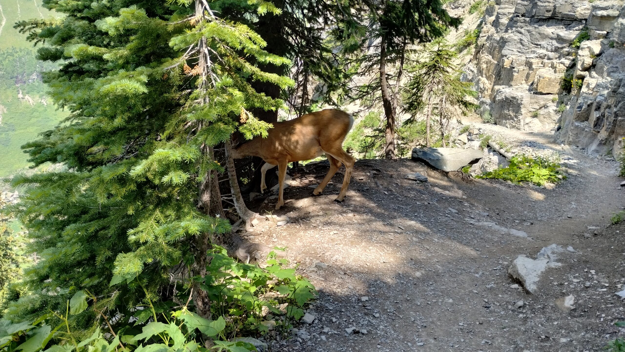
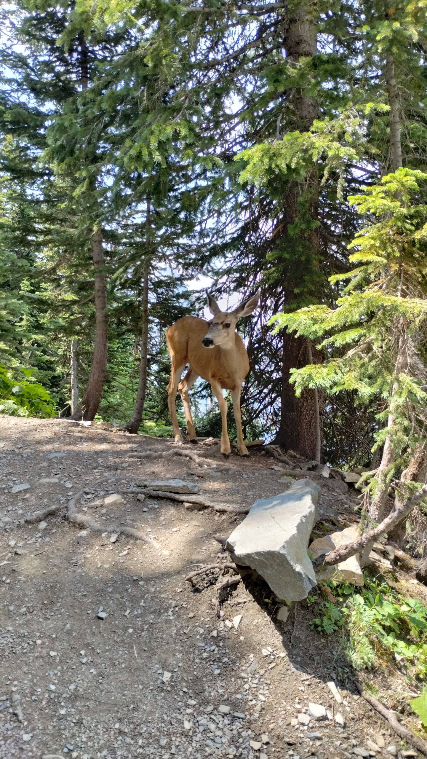
I stopped, and then I started again (admittedly, the sign didn’t say not to start after stopping) and drove back to the campsite. And look who I met on the way down!
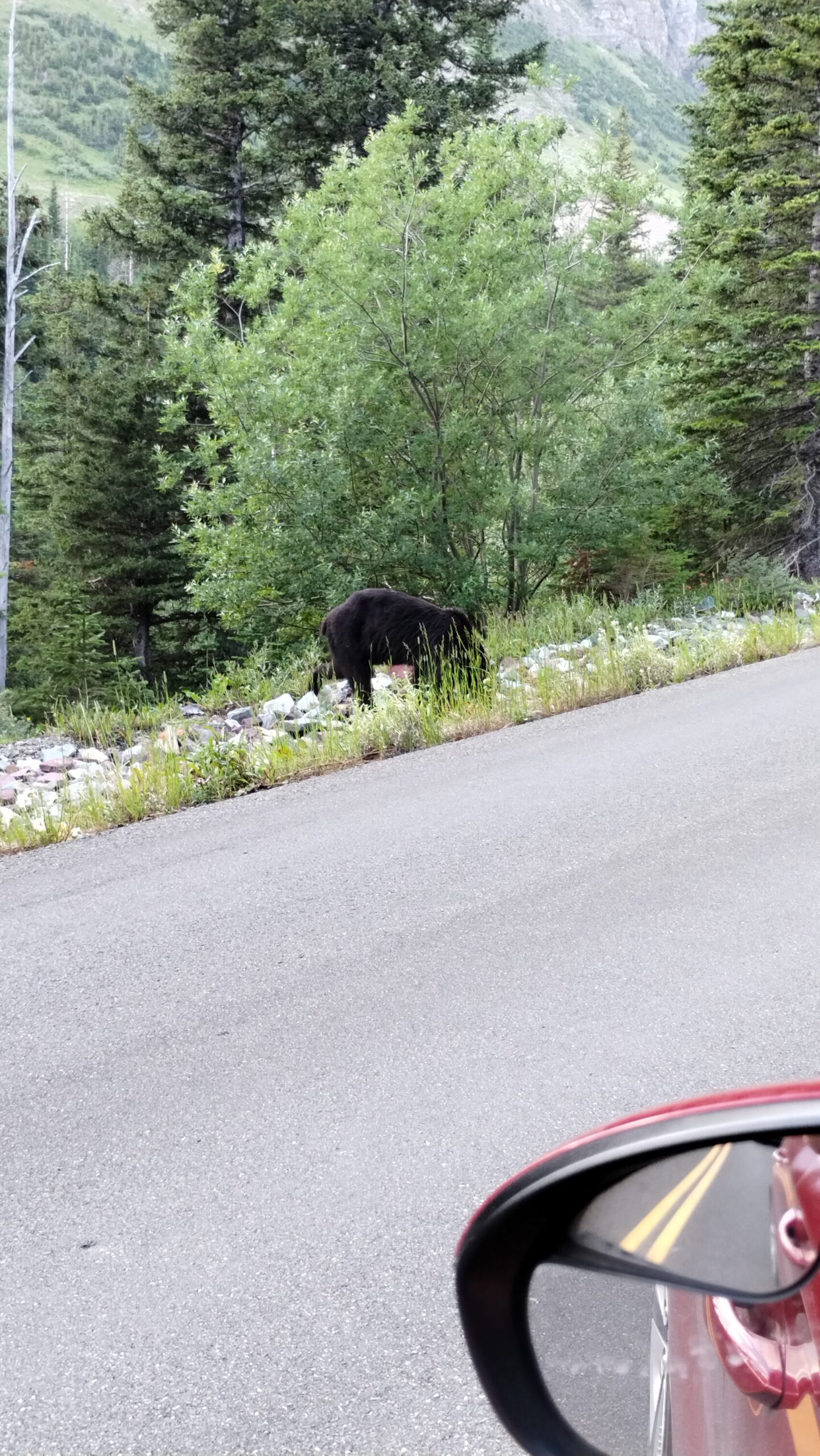
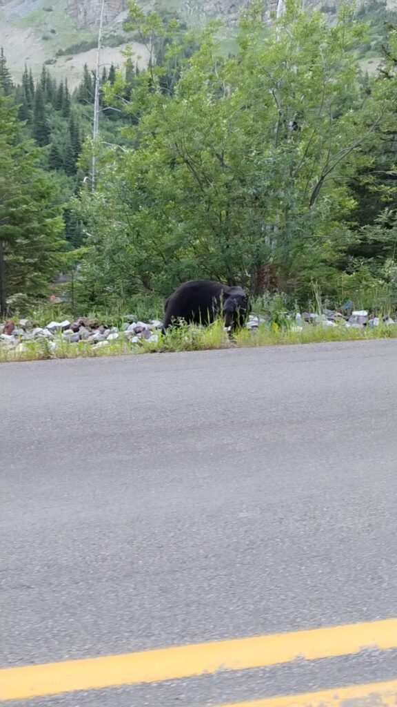
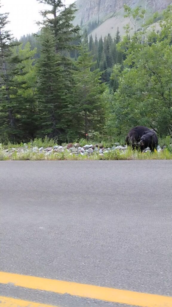
A black bear! I’ve finally seen a black bear! Five years of weekend hiking in Shenandoah, sometimes so dense with bears that tents and soft-sided pop-ups were banned, and I never saw a bear. But come to Glacier National Park, and they’ll show up on the side of the road for ya 🙂
That’s all for now,
Stay well everyone,
Evan 💙